Phu Soi Dao National Park ‘Get to the peak of 2,102 metres!’

Here comes an astonishing national park in Uttaradit Province. Get yourself ready for Phu Soi Dao National Park.
Phu Soi Dao National Park is located in National Preserved Forest of Pa Nam Pad, Muang Ched Ton District, Na Khum District, Ban Khoke District, Ban Khoke County, Huai Mhun County, Nam Pad County, Uttaradit Province, Bo Pak District and Charttrakan County, Phisanulok Province.
Phu Soi Dao National Park was established in 1990. At first, the area was very large.Therefore, in 1992, Royal Forest Department assigned Phitsanulok Provincial Forestry Office to explore more areas and gather them with the previous area.
The national park is approximately 340.21 square kilometres large and consists of magnificent natural resources, including forests. There are also many parts of high mountains. These mountains are mostly over 1,000 metres higher than the sea level.
Major sightseeing spots include Phu Soi-dao Waterfall, a beautiful 5-step waterfall situated in an approximate area of 1,000 rai, which can be accessed by an asphaltic road to facilitate the travelling for recreational purpose.

Geography
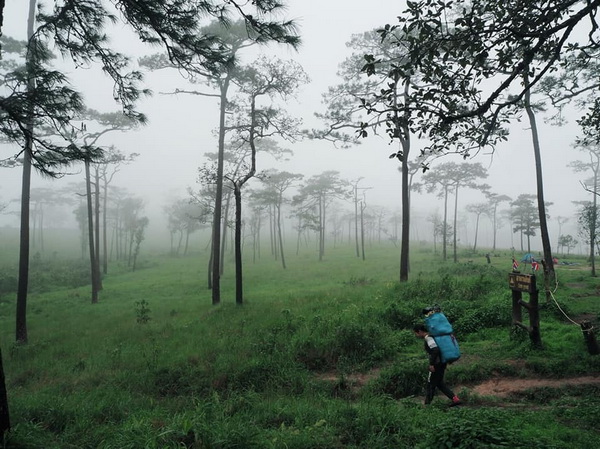
The geographical features of the National Park consist of high mountains (500-1,800 meters above the sea level), extending northwards and being used as the boundary between Thailand and Laos. The areas of mountains and forests are approximately 85 percent of the total area of the National Park, meanwhile, the areas of flatlands are approximately 15 percent thereof.
Climate
The weather here is very comfortable all year round. Its average highest temperature is about 35.0 degrees celsius and the lowest is about 13.0 degrees celsius or the mid-average is 27.0 degrees celsius. The average rainfall is 1,334.4 milimeters/year. Its raining season starts from May to October while the winter starts from November till February and summer starts from April to June.
Flora and Fauna
The weather at the National Park is cool and breezy throughout the year and can be divided into 3 seasons including the rainy season (May-October), winter (November-February), and summer (April-June). The average highest temperature is 35.0ฐC and the lowest temperature is 13.0 C, meanwhile, the average temperature is 27.0ฐC; and the average rainfall is 1,344.4 mm/year.
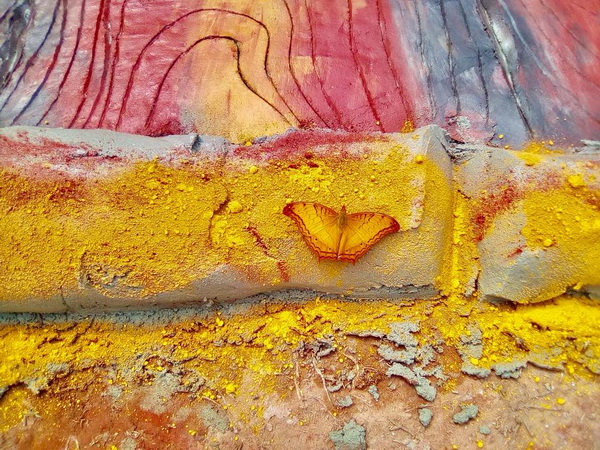
About animals, there are mostly animals of middle sizes like deers, monkeys, warthogs, wild chickens etc.
It’s a nice feeling to see pictures of animals in the middle of nature. Therefore, get your camera ready to take photos.

Activities and Tourism Spots
- Camping Grounds
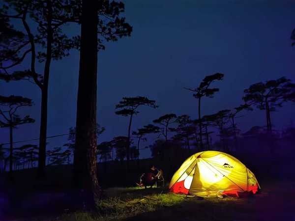
Of course, most tourists visit a national park for camping. At Phu Soi Dao National Park, there are camping grounds. You can set up your own tent and have a leisure camping. You can prepare all of your equipments. However, if you happen to forget your tent or sleeping bag, you can rent some at the national park. Each one costs 30 Baht per night.
- Phu Soi Dao Waterfall
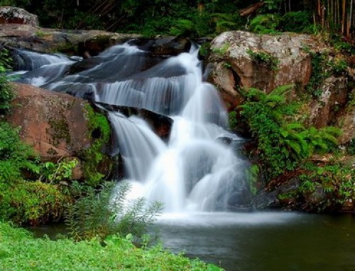
The waterfall consists of 5 levels, with flowing water all year round. You will be happy to have a picnic or take photos around the waterfall.
- Sai Thip Waterfall
This small waterfall consists of 7 levels. You can consider it as another cool spot for mind relaxing. Just be careful when you walk around there. A lot of moss covers the rocks on the shore. You don’t want to slip and hurt yourself.
- Phu Soi Dao Pinus Kesiya Field And Flower Field In Pine Forest
If you want to upload some astonishing photos to you Instagram or Facebook, you must set foot in this natural area. With the area of over 1,600,000 square metres, you will have lots of beautiful flowers in your backgrounds. With the height of over 1,000 metres, breath-taking scenery of cliffs will feast your eyes.

Facilities
There are toilets and shower rooms, but there aren’t restaurants. Therefore, you will have to prepare your own food.
Service Fee
Admission Fee: 40 Baht (Thai Adult), 20 Baht (Thai Child), 200 Baht(Foreign Adult), 100 Baht (Foreign Child)
Trash Deposit: 100 Baht per tourist group
How To Get There
There are different ways to get there.
First, you can use a car. Start the trip in Phitsanulok. You just have to look for the Highway 11 to follow it. Then switch to the Highway 1246. Keep going until you reach Ban Pae Yaek. Then follow the Highway 1143 and pass Chattrakarn County. Next, follow the Highway 1327 to pass ABan Bo Pak. Finally, you should find the Highway 1268, follow it and reach Phu Sao Dap Waterfall.
Another way is to start your trip in Uttaradit Province. Look for the Highway 1047. After reaching Nam Pad County, you should find the Highway 1239 and continue straight for about 47 kilometres. Then you should reach the Highway 1268 and continue straight for about 18 kilometres. Finally, you will reach the national park.
If you can’t drive a car or don’t have one, don’t worry. You can take a bus instead. You can just book a ticket that starts the trip from Bangkok to Phitsanulok, or you can book a ticket that allows you to travel to Chattrakarn County. Moreover, if you’re in Chattrakarn County, you can take a two-row seat truck. Most hotels and travel agency in Chiang Mai and Uttaradit will be able to assist in booking a private car rental with driver.
Opening hours : Opens daily from 8 am until 2 pm.
Admission Fee: 40 Baht (Thai Adult), 20 Baht (Thai Child), 200 Baht(Foreign Adult), 100 Baht (Foreign Child)
Trash Deposit: 100 Baht per tourist group
Note : Not accessible for wheelchair user
Phu Soi Dao National Park Map







Leave A Comment