Phu Chi Per ‘Get there or regret it later!’
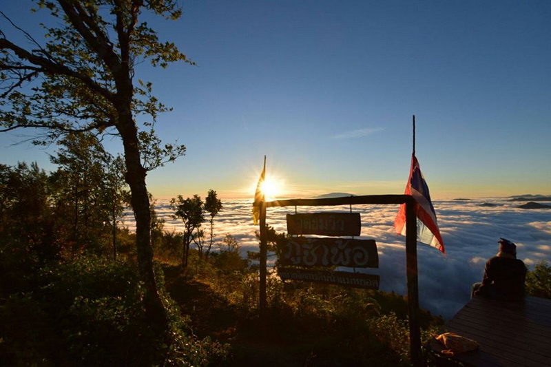
Phu Chi Per is not a very popular place, as it was recently found. But whoever gets there would fall in love with the place for sure.
Phu Chiper is a sightseeing spot like Mon Yun Lai. The whole area consists of mountains and forests. There are terraces to take a look at the scenery from different views.
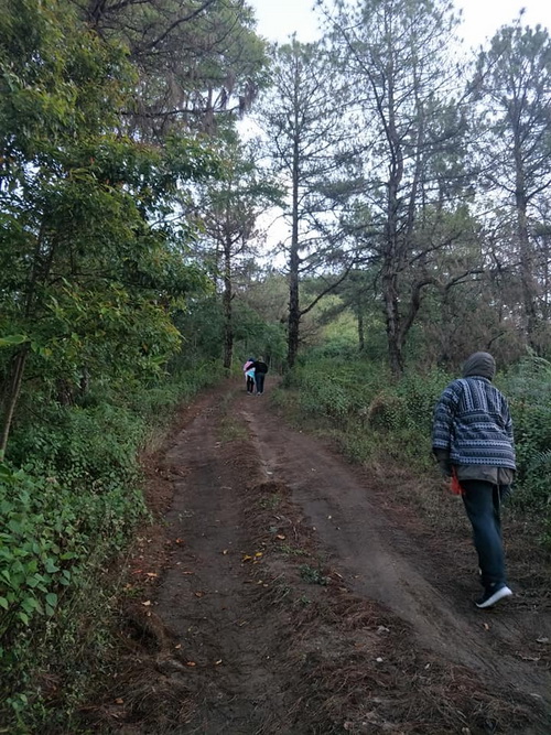
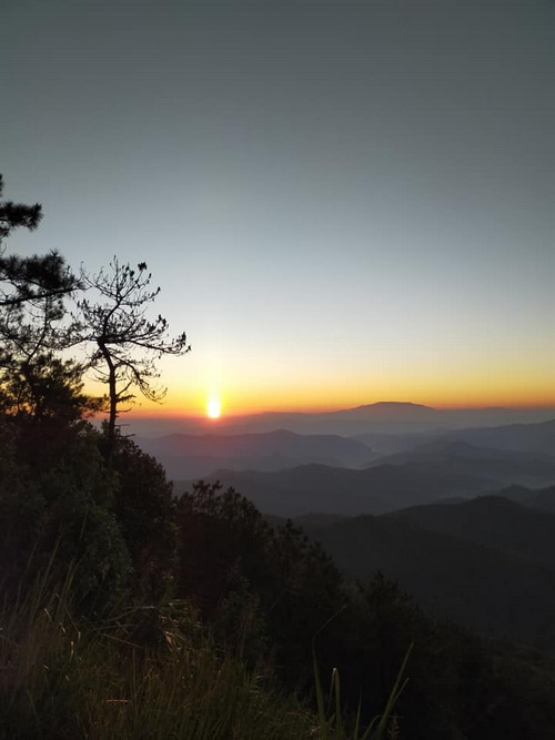

Phu Chi Per is located near Doi Mae-U-Kho Buatong Field. It’s about 1,818 metres higher than the sea level. So high that you can even see the Buatong Field below. And if you get there at a right time, you would be able to see the sunset and the light fog.
Once you get to the top, the scenery of mountains around you will look like the surface of the ocean wave.
You can have a camp Phu Chi Pher. There are camping grounds for you. However, you just need a permission to set a tent.
If you don’t want to sleep in a tent, then there are shelter 1 kilometre away from Phu Chi Pher. You just have to book your room first.
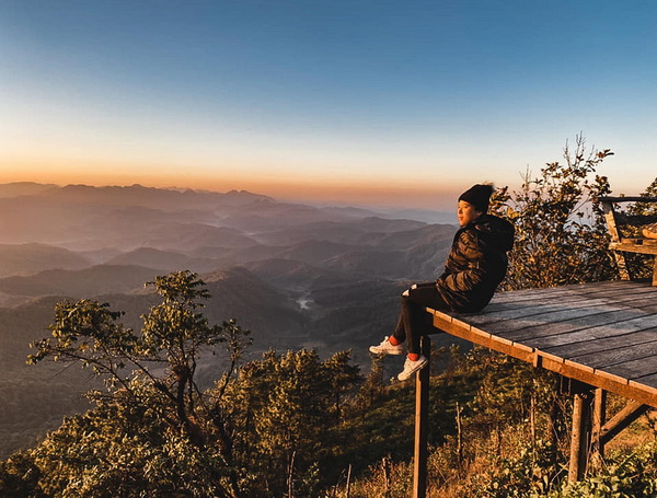
There are restrooms, but there aren’t any shops or restaurants. Therefore, if you don’t want to starve, make sure that you don’t forget to bring your own food.
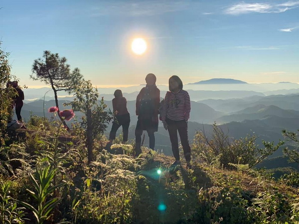
Getting there along would be lonely and boring for you. Therefore, bring your family or friends with you too. You guys can enjoy a lot of fun activities together.
How to get there
Phu Chiper is located in Khun Yuam County, Mae Hong Son Province.
Use the same route that leads you do Doi Mae-U-Kho Buatong Field. Phu Chi Per is located about 5 kilometres before the field. You should see the sign at the entrance. For more comfortable way, you can travel by private tour.
For your information, you should use a truck or a four-wheeled vehicle to get up there, as the road is very rough and steep. If the vehicle isn’t strong enough, it could be dangerous.
You have to get off at Mae Yod Water Source Management. Then walk on your feet for about 1 kilometre. Make sure that you wear proper shoes.
Note : Wheelchair user is accessible
Phu Chi Per Map






Leave A Comment