Salawin National Park or Lum Nam Khong
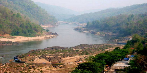
Salawin National Park: A Wilderness Rich in Nature, Culture, and Mystery
Salawin National Park, formerly known as Salatrin.erw, is one of Thailand’s most secluded and captivating natural preserves. Officially designated as a national park in 1994, it spans an impressive 721.52 square kilometers across Sop Moei and Mae Sariang districts in Mae Hong Son Province. Often referred to locally as Lum Nam Khong, this park is not just a sanctuary for wildlife and flora, but a living landscape that tells stories of culture, survival, and natural wonder.
🌽 Geography: Mountains That Give Birth to Rivers
The park is defined by a dramatic mountain range, with its highest peak soaring 1,027 meters above sea level. These mountains cradle the origins of several key rivers, including the Mae Nam Yuam, Mae Nam Salawin, Mae Nam Kong Kha, Mae Nam Mae Ngae, and Mae Nam Han. The rugged terrain creates a dynamic environment for ecosystems to flourish and provides endless scenic views.
❄️ Climate: Seasons of Experience
Salawin enjoys three distinct seasons:
- Summer (March–May): Warm and lush, great for river exploration.
- Rainy Season (June–October): The forest becomes vibrant and rivers swell with power.
- Winter (November–February): The most popular season for visitors, with cool temperatures, clear skies, and magical morning fog that blankets the landscape.

🌲 Flora and Fauna: Nature’s Masterpiece
The park is blanketed in mixed deciduous and dipterocarp forests, home to valuable hardwoods and unique plant life, including:
- Tectona grandis (Teak)
- Pterocarpus macrocarpus
- Xylia xylocarpa, Afzelia xylocarpa, Hopea odorata
- Shorea obtusa, Shorea siamensis
- Dipterocarpus obtusifolius, Dipterocarpus tuberculatus
Wildlife includes:
- Mammals: Southern Serow, Sambar Deer, Gaur, Tiger, Wild Boar, Common Muntjac, Siamese Hare, Bear, Gibbon, Palm Civet, Squirrel, Treeshrew
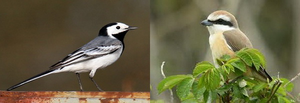
- Birds: White Wagtail, Common Kingfisher, Dollarbird, Brown Shrike, Sooty-headed Bulbul, Tailorbird
- Butterflies: Common Mormon, Red Helen, Orange Oakleaf, Common Birdwing, Magpie Crow, Sailor, Sergeant
This biodiversity makes the park an ideal location for nature studies and wildlife photography.
🌄 Top Attractions in Salawin National Park
Mae Nam Saiawin
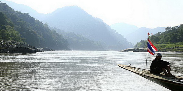
Mae Nam Saiawin a splendid river, offers soft and gentle beaches along the bank. Salawin River, Mae Hong Sorn. When this name is mentioned, many tourists may dream of packing their bags and go see the river that flows from the Tibetan plateau through China, Myanmar and into Thailand. Salawin is one of the longest free-flowing rivers in the world and there are many stories about it. Salawin is the border of Thailand and Myanmar, the source of the river is in the Qinghai Mountains, Tibet at more than 1,578 meters. Salawin is also called the Kong River when it flows past Amphur Mae La Noi, which is the location of the Salawin Wildlife Sanctuary. Usually the river will be covered by fog in the morning when the winter comes. This creates spectacular scenery. Visitors can take a boat trip to see how beautiful it is. Stay overnight along the riverbank is permitted.
Baan Maesamlab Village the starting point, is located in Amphur Mae Sareang. It is one of the most beautiful tourist attractions in Mae Hong Sorn. Baan Mae Sam Lab is a small village on the banks of the Salawin River, located opposite Myanmar and surrounded by jungle. Even though it is situated inside the Thai border, you can see many Burmese since there is also an immigration service for Burmese people who live in Thailand. There are many cottages built near the banks of the Salawin River. The atmosphere at this area looks as if you are not actually in Thailand. Visitors should go cruising along the river to see the country living style of the villagers.
This 2 hour boat ride is one of the most popular activities. Departing from Ban Mae Sam Leap, visitors cruise past forests, remote homes, and untouched nature, offering a tranquil yet eye-opening experience.
Budercha Viewpoint
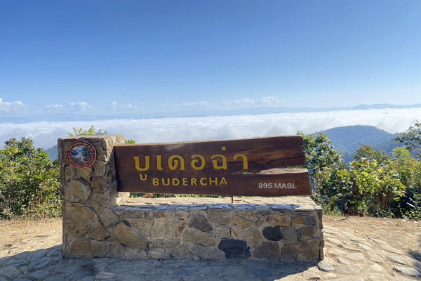
A hidden gem for hikers, the Budercha Viewpoint offers panoramic vistas of the Salawin River meandering through lush ridges and fog-topped peaks. It’s a moderately challenging trek that rewards with unmatched photo opportunities, especially at sunrise.
🛏️ Riverside Camping and Eco-Lodging
Set up a tent near the river or book a rustic lodge like Salawin 101. The night sky here is pristine, free from light pollution, and ideal for stargazing. Waking up to the sound of the flowing river is a serene experience for eco-conscious travelers.
🎨 Birdwatching and Butterfly Trails
Nature lovers and photographers can follow marked trails to observe exotic bird species and colorful butterflies. Bring binoculars and a macro lens — you won’t be disappointed.
☕ Cultural Interaction with the Karen Community
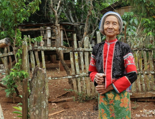
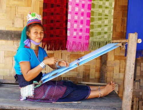
Join a guided experience to learn about Karen weaving traditions, herbal medicine, and daily life by the river. These activities support community-based tourism and help preserve local wisdom.
🛋 Getting There
From Mae Sariang, travel about 4 kilometers via Highway No. 1194, then turn right and continue for another 4 kilometers to reach the Salawin National Park Office.
For those without personal transport, private tours and car rentals with drivers are available. These services can be tailored to your schedule and include multi-day exploration through Mae Hong Son.
💳 Entry Fees
- Thai Adults: 20 THB, Children: 10 THB
- Foreign Adults: 100 THB, Children: 50 THB
- Car Entry: 30 THB, Motorcycle : 20 THB
Proceeds directly support conservation and maintenance effort

Salawin National park Map








Leave A Comment